
What is the Wind Speed of a Hurricane?
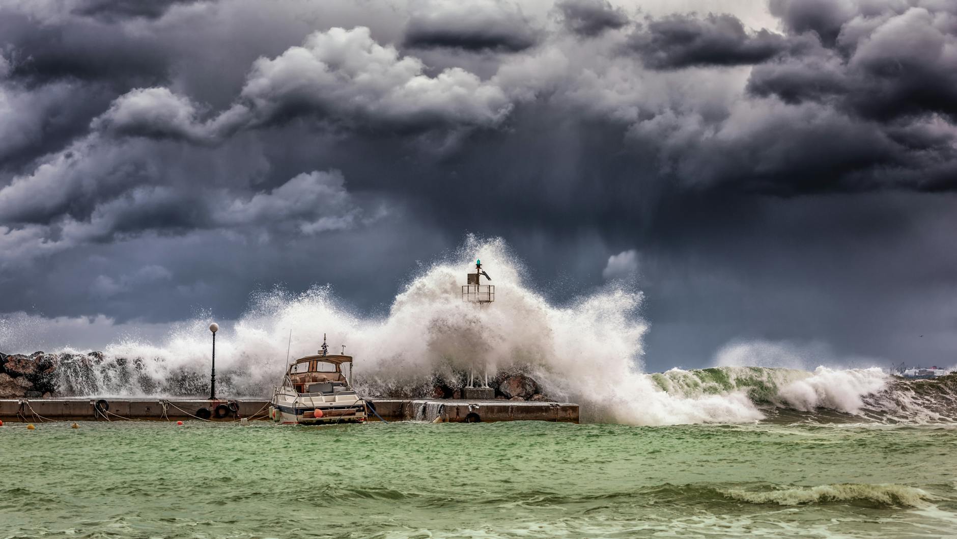
The wind speed of a hurricane, a swirling vortex of atmospheric fury, is fundamentally defined by its maximum sustained wind speed, measured over a one-minute period at a height of about 33 feet (10 meters) above the surface. While hurricanes can generate gusts far exceeding these sustained speeds, it’s the sustained wind that determines a storm’s category on the Saffir-Simpson Hurricane Wind Scale and ultimately dictates its potential for widespread destruction.

Understanding Hurricane Wind Speeds
Hurricane wind speeds are more than just numbers; they are the key indicator of a storm’s destructive potential. The higher the wind speed, the greater the force exerted on structures, vegetation, and even the ocean itself. Understanding how these speeds are measured, categorized, and impacted by various factors is crucial for both scientists and the public to prepare for and respond to these powerful weather events.
The Saffir-Simpson Hurricane Wind Scale
The Saffir-Simpson Hurricane Wind Scale is the primary tool used to classify hurricanes based on their sustained wind speeds. This scale categorizes hurricanes from Category 1 to Category 5, with each category corresponding to a range of wind speeds and associated potential damage.
- Category 1: 74-95 mph (119-153 km/h) – Minimal damage
- Category 2: 96-110 mph (154-177 km/h) – Moderate damage
- Category 3: 111-129 mph (178-208 km/h) – Extensive damage
- Category 4: 130-156 mph (209-251 km/h) – Extreme damage
- Category 5: 157 mph (252 km/h) or higher – Catastrophic damage
It’s important to remember that the Saffir-Simpson scale only considers wind speed. Factors like storm surge, rainfall, and the size of the storm also contribute significantly to the overall devastation a hurricane can inflict.

What colours are fish most attracted to?
Can you put your finger in a trout's mouth?
Is methylene blue anti bacterial?
Does aquarium salt raise pH in aquarium?
Measuring Hurricane Wind Speeds
Scientists employ a variety of tools and techniques to measure hurricane wind speeds. These methods include:
- Anemometers: These instruments, traditionally cup or vane anemometers, are placed on weather stations and buoys to directly measure wind speed.
- Doppler Radar: Ground-based Doppler radar systems can measure wind speed and direction within a hurricane’s rainbands, providing valuable data on the storm’s structure.
- Aircraft Reconnaissance: Specially equipped aircraft, often referred to as “hurricane hunters,” fly directly into hurricanes to collect data, including wind speed measurements taken by onboard instruments called dropsondes. These dropsondes are released from the aircraft and transmit data as they descend through the storm.
- Satellite Data: Satellites can estimate wind speeds based on the roughness of the sea surface caused by the wind. While less precise than direct measurements, satellite data provides valuable information about a hurricane’s overall intensity and extent.
FAQs: Delving Deeper into Hurricane Winds
To further enhance your understanding of hurricane wind speeds, we’ve compiled a list of frequently asked questions.
FAQ 1: What’s the difference between sustained winds and wind gusts?
Sustained winds are the average wind speed measured over a one-minute period, while wind gusts are brief, sudden increases in wind speed. Gusts can be significantly higher than sustained winds, but they are not used to determine a hurricane’s category. Wind gusts can cause localized damage and are important to consider when assessing the immediate threat of a storm.
FAQ 2: How does storm surge relate to hurricane wind speed?
While not directly proportional, storm surge is heavily influenced by hurricane wind speed. Storm surge is the abnormal rise in sea level caused primarily by a hurricane’s winds pushing water towards the shore. Higher wind speeds create a stronger push, resulting in a more significant storm surge. The shape of the coastline and the angle at which the hurricane approaches also play a critical role in determining the extent of storm surge.
FAQ 3: Can a hurricane weaken or strengthen rapidly?
Yes, hurricanes can undergo rapid intensification (strengthening) or weakening over relatively short periods. Rapid intensification is defined as an increase in maximum sustained winds of at least 35 mph (56 km/h) within 24 hours. Factors like warm ocean temperatures, low wind shear, and a moist environment can contribute to rapid intensification. Conversely, cooler waters, increased wind shear, or interaction with land can cause a hurricane to weaken.
FAQ 4: What is wind shear, and how does it affect hurricanes?
Wind shear refers to the change in wind speed or direction with altitude. High wind shear can disrupt a hurricane’s structure by tilting the storm’s vertical axis and preventing the warm, moist air from rising efficiently. This can weaken or even dissipate a hurricane. Low wind shear is generally more conducive to hurricane development and intensification.
FAQ 5: Where are the strongest winds located within a hurricane?
The strongest winds in a hurricane are typically found in the eyewall, the ring of intense thunderstorms surrounding the eye of the storm. The eyewall is where the most rapid ascent of air occurs, leading to the strongest updrafts and highest wind speeds.
FAQ 6: What is the “eye” of a hurricane, and what are the wind conditions like there?
The eye of a hurricane is the relatively calm center of the storm. While surrounded by the intense winds of the eyewall, the eye itself typically experiences light winds and clear or partly cloudy skies. However, this calm is deceptive, as the eyewall is a zone of extreme danger.
FAQ 7: Do hurricanes spin the same way in the Northern and Southern Hemispheres?
No, hurricanes spin in opposite directions in the Northern and Southern Hemispheres due to the Coriolis effect. In the Northern Hemisphere, hurricanes spin counterclockwise, while in the Southern Hemisphere, they spin clockwise.
FAQ 8: How do landfalling hurricanes affect wind speeds inland?
As a hurricane makes landfall, its wind speeds generally decrease due to friction with the land surface and the loss of its warm water energy source. However, strong winds can still extend far inland, causing significant damage. The topography of the land can also influence wind speeds, with higher elevations experiencing stronger winds.
FAQ 9: What kind of damage can different hurricane categories cause?
- Category 1: Damage primarily to unanchored mobile homes, poorly constructed signs, and vegetation.
- Category 2: Considerable damage to roof, door, and window structures. Extensive damage to vegetation and mobile homes.
- Category 3: Extensive damage to small buildings. Mobile homes destroyed. Flooding near the coast and further inland.
- Category 4: More extensive damage to framed buildings. Complete roof failure on many small residences. Major erosion of beaches.
- Category 5: Complete roof failure and heavy damage to most buildings. All shrubs, trees, and signs blown down. Major damage to lower floors of all structures located less than 15 feet above sea level and within 500 yards of the shoreline.
FAQ 10: How has climate change affected hurricane wind speeds?
The relationship between climate change and hurricane wind speeds is complex and an area of ongoing research. While the total number of hurricanes may not necessarily increase, there is evidence to suggest that climate change is contributing to a higher proportion of more intense hurricanes, including those with higher wind speeds, due to warmer ocean temperatures and changes in atmospheric conditions.
FAQ 11: What should I do to prepare for hurricane-force winds?
Preparation is key to mitigating the impact of hurricane-force winds. Key steps include:
- Secure your home: Reinforce windows, doors, and roofs. Trim trees and shrubs.
- Create a disaster plan: Know your evacuation route and have a plan for communicating with family members.
- Assemble a disaster kit: Include essential supplies such as food, water, medications, and a first-aid kit.
- Stay informed: Monitor weather reports and heed warnings from authorities.
FAQ 12: Where can I find reliable information about hurricane wind speeds and forecasts?
Reliable sources of information include:
- The National Hurricane Center (NHC): The official source for hurricane forecasts and warnings in the Atlantic and Eastern Pacific.
- The National Weather Service (NWS): Provides local weather forecasts and warnings.
- Reputable news organizations: Follow local and national news outlets for updates on hurricane activity.
By understanding the science behind hurricane wind speeds and taking appropriate precautions, individuals and communities can better prepare for and respond to these powerful and potentially devastating weather events. Staying informed and proactive is the best defense against the fury of a hurricane.