
What is an Atmospheric River? Unveiling Nature’s Powerful Water Conveyor

An atmospheric river is a long, narrow, and concentrated band of water vapor in the atmosphere, resembling a river in the sky that transports vast quantities of water from the tropics and subtropics towards higher latitudes. These rivers, capable of carrying more water than the Mississippi River, can deliver substantial precipitation, both beneficial and hazardous, to the regions they impact.

Understanding Atmospheric Rivers: A Comprehensive Overview
Atmospheric rivers (ARs) are significant weather phenomena that play a crucial role in the global water cycle. They are responsible for a substantial portion of the world’s precipitation, particularly in coastal mountainous regions. While they can provide vital water resources, they also pose a significant risk of flooding, landslides, and other related hazards. Understanding their characteristics, formation, and impacts is essential for effective forecasting and risk management.
The Anatomy of an Atmospheric River
An AR is essentially a plume of concentrated water vapor transported within the lower atmosphere. Imagine a fire hose in the sky; that’s a simplified analogy for the kind of volume we’re talking about. These plumes typically stretch thousands of kilometers long but are only a few hundred kilometers wide. The strongest ARs are often associated with mid-latitude cyclones, acting as a conveyor belt that funnels moisture from warmer regions towards cooler areas.

What colours are fish most attracted to?
Can you put your finger in a trout's mouth?
Is methylene blue anti bacterial?
Does aquarium salt raise pH in aquarium?
Formation and Mechanics
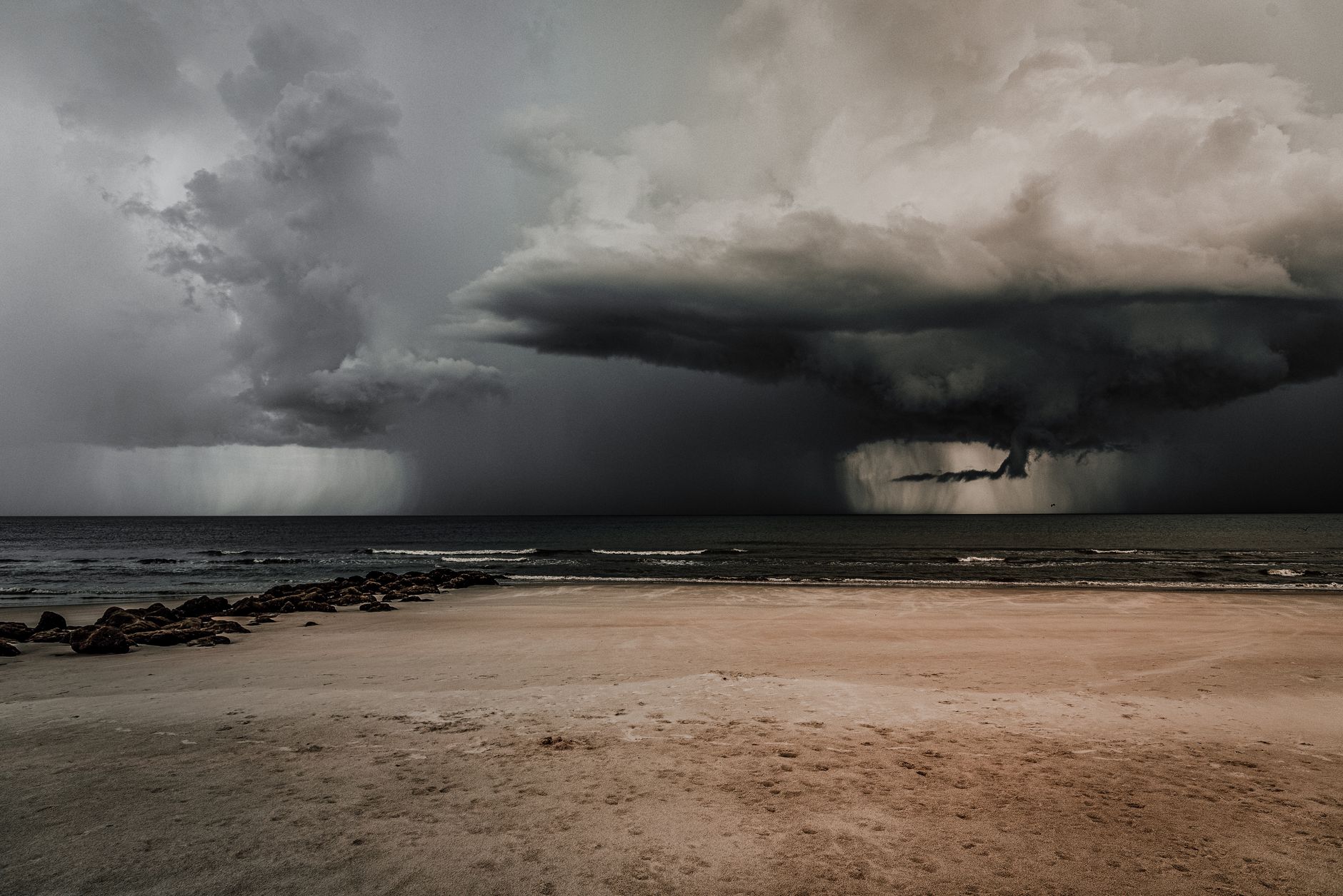
The formation of an AR is complex, involving a combination of factors, including:
- Tropical Moisture Source: Most ARs originate in the tropics or subtropics, where warm ocean waters provide a ready supply of water vapor through evaporation.
- Large-Scale Circulation: Prevailing wind patterns, such as the jet stream, play a critical role in organizing and transporting this moisture.
- Frontal Systems and Cyclones: These weather systems act as focal points, drawing in moisture and intensifying the AR.
- Orographic Lift: As an AR encounters mountainous terrain, the air is forced to rise, cooling and condensing the water vapor, resulting in significant precipitation.
Identifying and Measuring Atmospheric Rivers
Scientists use a variety of methods to identify and measure ARs, including:
- Satellite Observations: Satellites equipped with microwave radiometers can detect the amount of water vapor in the atmosphere.
- Weather Models: Numerical weather prediction models simulate atmospheric conditions and track the movement of water vapor.
- Ground-Based Instruments: Radiosondes (weather balloons) and surface observations provide data on temperature, humidity, and wind speed.
The intensity of an AR is often quantified using a scale that considers both the Integrated Vapor Transport (IVT) – the total amount of water vapor being transported – and the duration of the event.
Impacts and Implications
The impacts of ARs are diverse and far-reaching, affecting water resources, ecosystems, and human infrastructure.
Beneficial Aspects
ARs are not always destructive. They are vital for replenishing water supplies, particularly in regions with dry summers, like California. They contribute to:
- Reservoir Refill: ARs fill reservoirs and replenish groundwater supplies, crucial for agriculture and urban water use.
- Snowpack Accumulation: Mountain snowpack, vital for water storage, is often significantly enhanced by AR precipitation.
- Ecosystem Health: ARs provide essential moisture for plants and animals, supporting biodiversity and ecosystem functioning.
Hazardous Risks
The extreme precipitation associated with strong ARs can lead to devastating consequences, including:
- Flooding: Rapid and intense rainfall can overwhelm drainage systems, causing widespread flooding.
- Landslides and Debris Flows: Saturated soils can become unstable, leading to landslides and debris flows, which can damage infrastructure and threaten lives.
- Erosion: Heavy rainfall can erode soil and destabilize slopes, increasing the risk of future hazards.
- Infrastructure Damage: Bridges, roads, and other infrastructure can be damaged or destroyed by flooding and landslides.
Climate Change and Atmospheric Rivers
Climate change is expected to influence ARs in several ways. Warmer temperatures increase atmospheric water vapor, potentially leading to:
- More Intense ARs: Higher water vapor content could result in stronger and more impactful ARs.
- Shifts in AR Patterns: Changes in atmospheric circulation could alter the frequency and distribution of ARs.
- Increased Flood Risk: The combination of more intense ARs and rising sea levels could exacerbate coastal flooding.
Frequently Asked Questions (FAQs) About Atmospheric Rivers
FAQ 1: Are all atmospheric rivers the same?
No, atmospheric rivers vary significantly in size, intensity, and duration. They are classified based on these factors, influencing their impacts. Some are weak and beneficial, providing moderate rainfall, while others are strong and hazardous, causing widespread flooding.
FAQ 2: What is the “Pineapple Express”?
The “Pineapple Express” is a specific type of atmospheric river that originates near Hawaii, carrying warm, moist air towards the west coast of North America, especially California. It’s named for its point of origin and the associated tropical characteristics.
FAQ 3: How are atmospheric rivers different from regular rainstorms?
While regular rainstorms deliver precipitation, atmospheric rivers are characterized by their long, narrow shape, high water vapor content, and ability to transport moisture over long distances. They deliver significantly more water than typical rainstorms.
FAQ 4: Can atmospheric rivers be predicted?
Yes, meteorologists use sophisticated weather models and satellite data to predict the arrival and intensity of atmospheric rivers. However, precise forecasting remains challenging, particularly regarding the exact location and amount of precipitation. Advancements in computational power and model resolution continue to improve prediction accuracy.
FAQ 5: What is Integrated Vapor Transport (IVT)?
Integrated Vapor Transport (IVT) is a measure of the total amount of water vapor being transported horizontally through the atmosphere in a given area. It’s a key metric for identifying and characterizing atmospheric rivers. Higher IVT values indicate a stronger AR.
FAQ 6: How does orographic lift affect atmospheric river precipitation?
Orographic lift occurs when an air mass is forced to rise as it encounters a mountain range. As the air rises, it cools and condenses, leading to increased precipitation. This effect is particularly pronounced with atmospheric rivers, which carry large amounts of moisture.
FAQ 7: What are the best ways to prepare for an atmospheric river event?
Preparation includes staying informed about weather forecasts and warnings, clearing gutters and drainage systems, securing loose objects, and having an emergency plan in place. For areas prone to flooding, consider sandbagging or other flood mitigation measures.
FAQ 8: What role do atmospheric rivers play in drought cycles?
Atmospheric rivers can play a critical role in breaking drought cycles by delivering significant precipitation to affected areas. However, the intensity and frequency of ARs can vary, and prolonged periods without ARs can contribute to drought conditions.
FAQ 9: Are atmospheric rivers unique to the West Coast of the United States?
While atmospheric rivers are frequently associated with the West Coast of the United States, they occur globally, impacting regions like Europe, South America, and New Zealand. Their specific characteristics and impacts vary depending on the location.
FAQ 10: How do scientists study atmospheric rivers?
Scientists use a combination of satellite observations, weather models, ground-based instruments, and field experiments to study atmospheric rivers. They analyze data on water vapor, wind patterns, temperature, and precipitation to understand AR formation, behavior, and impacts.
FAQ 11: What is the ARkStorm scenario?
The ARkStorm (Atmospheric River 1,000 Storm) scenario is a hypothetical but plausible mega-storm event that could strike California. It is based on historical evidence of extreme flooding events and climate change projections, highlighting the potential for devastating impacts from a very strong atmospheric river.
FAQ 12: How can communities reduce their vulnerability to atmospheric river hazards?
Communities can reduce their vulnerability to AR hazards by investing in infrastructure improvements, implementing stricter building codes, promoting land-use planning that avoids flood-prone areas, and enhancing public awareness and education about flood risks. Early warning systems and emergency preparedness plans are also crucial.